Ever thought about what your land might hide? Cuyahoga County’s GIS maps let you explore your property for free. They show more than just your address; they tell your home’s story.
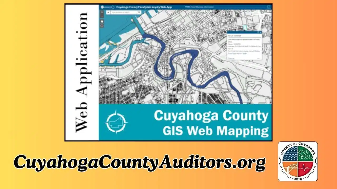
What Are GIS Maps?
GIS stands for Geographic Information System. It’s a way to map and store data. Cuyahoga County uses GIS to track property details like boundaries, taxes, and zoning.
These maps are online and free. You can search by address or parcel number. The system shows info in seconds.
Why GIS Maps Are a Big Deal
Cuyahoga County has over 500,000 parcels of land. Each has a unique record in the GIS system. According to Acres.com, there are 513,747 parcels with ownership data.
The maps show property lines, past owners, and tax history. They help homeowners, real estate agents, and planners make smart choices. For example, you can see if your land is zoned for a new garage.
Secrets Your Home Might Hold
GIS maps can reveal surprising facts. Want to know if your yard was once a farm? The maps show historical land use.
They also list your home’s assessed value. In 2023, Cuyahoga County updated values for all properties, as required every six years. You can compare your home’s value to your neighbor’s.
Some maps even show flood zones or soil types. This helps if you’re planning a garden or checking for risks.
How Cuyahoga County Makes This Free
The county’s Auditor’s Office runs the GIS system. They want everyone to have access to property data. It’s part of their mission to be transparent.
The MyPlace tool is the main way to explore GIS maps. It’s user-friendly and works on phones or computers. Over 257,890 people used it for tax payments in 2023.
The county also offers aerial photos. These show your home from above, helping you spot changes over time.
Cool Ways People Use GIS Maps
Homeowners check GIS maps to settle boundary disputes. One X user shared how they found their fence was built on a neighbor’s land. A quick map check saved them from a legal fight.
Real estate pros use the maps to study market trends. They look at sales data to find hot neighborhoods. Planners use them to decide where to build schools or roads.
Even history buffs dig into GIS. They find old property records to learn about Cuyahoga’s past.
What You Can Find in the Maps
Here’s a quick list of what GIS maps show:
- Property boundaries and size
- Ownership history
- Tax records and payment status
- Zoning rules (like if you can add a shed)
- Nearby schools or parks
- Environmental details, like flood risks
Some maps include 3D views or street-level images. It’s like Google Maps but with deeper property info.
Why This Matters to You
Knowing your home’s details helps you plan. Thinking of selling? GIS maps show what buyers might pay. Want to renovate? Check zoning rules first.
The maps also protect you. You can spot errors in tax records or catch fraud. The county’s alert system warns if someone tries to change your property’s title.
Plus, it’s just neat to learn about your land. You might find out your home sits on what used to be a 19th-century orchard.
How to Explore Cuyahoga’s GIS Maps
Ready to try it? Here’s how to start:
- Visit the Cuyahoga County MyPlace website (myplace.cuyahogacounty.gov).
- Enter your address or parcel number in the search bar.
- Click on your property to see details.
You can zoom in for aerial views or download data as a CSV file. The site updates regularly—last checked on December 27, 2024.
If you’re new to GIS, don’t worry. The site has a guide, and the county’s help desk answers questions at gis@cuyahogacounty.us.
Tips for Getting the Most Out of GIS
Start with a simple search. Type your address and explore the tabs. Look at “Tax History” for payment records or “Land Use” for zoning.
Save maps you like. You can print or share them with a click. If you’re researching a big project, email the county for extra data.
Check back often. Property values and rules change. The next big update is planned for mid-2025.
Beyond Your Home: Exploring the County
GIS maps cover all of Cuyahoga County, not just your property. You can check out parks, libraries, or even crime stats in some areas.
The county’s GIS Hub has datasets for download. Want to map every tree in Cleveland? There’s data for that. It’s a nerd’s paradise.
Local groups like the Cuyahoga County Planning Commission use these maps to improve neighborhoods. You can join their efforts by sharing ideas online.
Why Cuyahoga’s System Stands Out
Not every county offers free GIS access. Cuyahoga’s system is a model for others. It’s fast, detailed, and open to everyone.
The Auditor’s Office uses advanced tech to keep data fresh. They work with ESRI, a top GIS software company, to make maps accurate.
Residents love it. An X post from a Cleveland homeowner called MyPlace “a game-changer for understanding my taxes.”
What’s Next for GIS in Cuyahoga?
The county plans to add more features. They’re working on 3D maps and better mobile apps. Voice search might come soon, too.
They’re also linking GIS to other tools. Imagine checking school ratings or bus stops right on the map. These updates could roll out by 2026.
For now, the system is plenty powerful. It’s a free way to unlock your home’s secrets and learn about your community.
Get Started Today
Cuyahoga’s GIS maps are a hidden gem. They’re easy to use and packed with info. Whether you own a home or just rent, there’s something to discover.
Head to MyPlace and type in an address. You might find a fact that surprises you. It’s like a treasure hunt for your property’s past.
Don’t stop at your home. Explore the county’s parks or dig into local history. Cuyahoga’s GIS system is your key to understanding where you live.